The island of Hawaii experiences earthquakes that are volcanic where alot of them are too small to be felt. These
earthquakes can be measured using the Richter scale.
Hawaii's earthquakes has a great connection with alot of the volcanoes situated around the area. The earthquakes
are linked with volcanism because they are related with magma moving underground, which may erupt eventually on the surface
of the earth, or intrude between the cracks in the rock underground. Earthquakes play an important role in buliding
and shaping the Hawaiian Islands. While earthquakes can be dangerous they are also very benificial because the resulting
damage may sometimes created a beautiful land mark and tourist attraction.
According to USGS, they have recorded that every year there is about a thousand earthquakes happening every year underneath
the Hawaiian Islands. The Earthquakes tend to occur in areas of structural weakness which could be at the base of
Hawaii's volcanoes, deep within the earth's crust or beneath the islands.
Depending on the earthquakes magnitude the stronger it is the more dangerous it is causing extensive damage to roads,
homes, large bulidings, and start of tsunamis resulting to death and destruction.
USGS, Hawaii Volcano Observatory describes one of the most destructive earthquakes "killing 81 people, occured on
April 2, 1868, with a magnitude of 7.9 and a maximum intensity of XII. They discussed how the earthquake destroyed
over a hundred homes and generated a 15-m high tsunami along Kilauea's coast."
(http://hvo.wr.usgs.gov/earthquakes/)
These earthquakes are a bif natural hazards because they crack the ground and cause also large landslides
and the collapses of buildings and homes.
The size of an earthquake is measured by its magnitude on the Richter Scale, which measures the relative size of earthquake
wave on a seismograph. Earthquakes that measure greater then a magnitude of 3 can be felt near the center of earthquake
and with a magnitude of 5 it could be more dangerous. So could you imagine one with a magnitude of 7 or larger.
Kilauea and Mauna Loa currently are associated with many shallow earthquakes as the magma beneath these Islands is moving.
Also, right now Kilauea's east rift zone is continually being wedge apart by the new formation of magma. This Island overtime
shifts seaward causing pressure leading to a small earthquake.hhhhhh
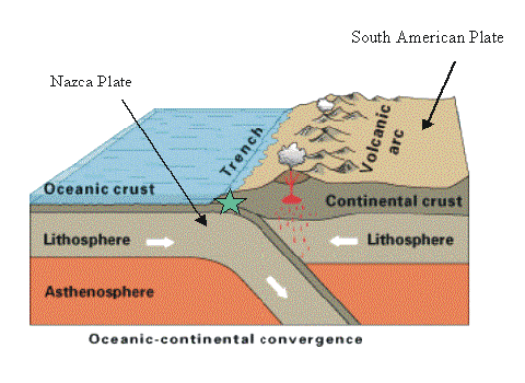
Here is a digram illustrating how an earthquake occurs: